Randonnée Marche Peyre en Aubrac - J1 réel - Aumont-Aubrac à Nasbinals 25 890m +529m - Photo

J1 réel - Aumont-Aubrac à Nasbinals 25 890m +529m

 DanielROLLET
DanielROLLET

Utilisateur

© OpenStreetMap contributors
Longueur
Longueur
26 km
Altitude max
Altitude max
1256 m
Dénivelé positif
Dénivelé positif
529 m
Km-Effort
Km-Effort  
33 km
Altitude min
Altitude min
1015 m
Dénivelé négatif
Dénivelé négatif
396 m
Boucle
Boucle
Non
Date de création :
2022-09-13 05:59:59.361
Dernière modification :
2022-10-06 16:18:45.91

(0 Avis)

Marche
Marche
6h50
Difficulté : Moyen

Scannez ce code QR pour ouvrir la randonnée dans l'application SityTrail

Application GPS de randonnée GRATUITE

Logo SityTrail SityTrail

IGN / Instituts géographiques

Télécharger SityTrail sur l'App Store Télécharger SityTrail sur Google Play

Logo SityTrail SityTrail World

Le monde est à vous

Télécharger SityTrail sur l'App Store Télécharger SityTrail sur Google Play Télécharger SityTrail sur Huawei AppGallery

À propos

Randonnée Marche de 26 km à découvrir à Occitanie, Lozère, Peyre en Aubrac. Cette randonnée est proposée par DanielROLLET.

Description

2022 09 13 - GR65
Départ de l'hôtel Prunières
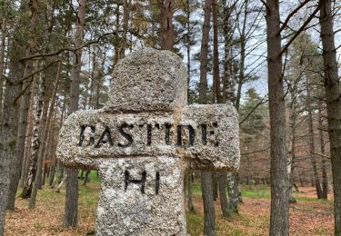
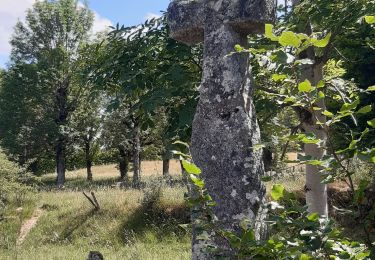
Étape sur le chemin de Compostelle
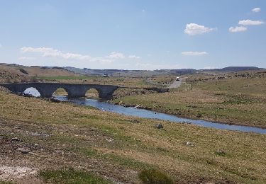
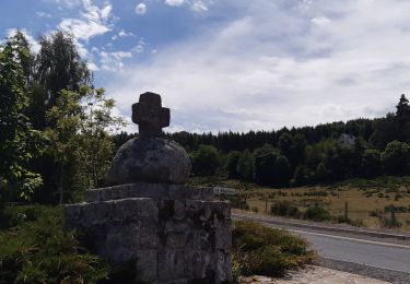
L’Aubrac s'est vraiment révélé après le hameau des "Quatre chemins"
Clôtures de chaque côté du chemin tout le long du parcours
Quelques gouttes en arrivant à l'hôtel de France
8h00 à 14h50 Etape relativement facile

Profil altimétrique

Localisation

Pays :
France
Région :
Occitanie
Département/Province :
Lozère
Commune :
Peyre en Aubrac
Localité :
Aumont-Aubrac
Départ:(UTM)
522466 ; 4952102 (31T) N.

Randonnées à proximité

Randonnée Marche Peyre en Aubrac - Aumont Aubrac Nasbinal Avril 2018 - Photo
Marche
GUIDE
Kargil

Marche

Difficile
Peyre en Aubrac, Occitanie, Lozère, France
27 km | 34 km-effort
7h 54min
Non
Randonnée Marche Peyre en Aubrac - Compostelle Aumont-Nasbinals - Photo
Marche
c.chappuis

Marche

Difficile
(1)
Peyre en Aubrac, Occitanie, Lozère, France
28 km | 36 km-effort
7h 37min
Non
Randonnée Marche Peyre en Aubrac - Lasbros  - Photo
Marche
GUIDE
antignacs

Marche

Très facile
Peyre en Aubrac, Occitanie, Lozère, France
9,7 km | 12,2 km-effort
2h 7min
Oui
Randonnée Marche Peyre en Aubrac - Étape 1 Saint Gilhem - Photo
Marche
GUIDE
Roger Philippe Wallez

Marche

Très difficile
Peyre en Aubrac, Occitanie, Lozère, France
17,1 km | 21 km-effort
4h 48min
Non
Randonnée Marche Peyre en Aubrac - Mon chemin de St Guilhem étape 1 - Photo
Marche
GUIDE
nadinebondoux

Marche

Moyen
Peyre en Aubrac, Occitanie, Lozère, France
17,2 km | 21 km-effort
4h 12min
Non
Randonnée Marche Peyre en Aubrac - les moulins? - Photo
Marche
GILOU440

Marche

Difficile
Peyre en Aubrac, Occitanie, Lozère, France
12,4 km | 16,3 km-effort
3h 30min
Oui
Randonnée Marche Peyre en Aubrac - le rocher du Cher - Photo
Marche
GILOU440

Marche

Difficile
Peyre en Aubrac, Occitanie, Lozère, France
9,8 km | 12,5 km-effort
3h 31min
Oui
Randonnée Voiture Peyre en Aubrac - javols  - Photo
Voiture
Martial Faulconnier

Voiture

Très facile
Peyre en Aubrac, Occitanie, Lozère, France
224 km | 261 km-effort
6h 29min
Non
Randonnée Marche Peyre en Aubrac - Chemin de St Guilhem - Variante N° 03 - Photo
Marche
GUIDE
Kargil

Marche

Très difficile
Peyre en Aubrac, Occitanie, Lozère, France
247 km | 348 km-effort
72h 48min
Non


Fermer
Mes abonnements